Log in
All resources
Create a design
1,059 Free Artworks of British Isles
great britain
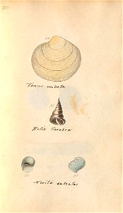
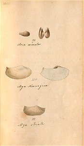
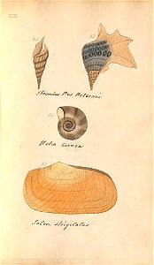
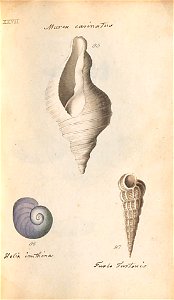
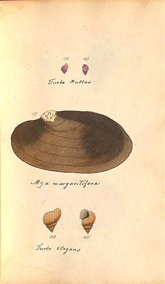
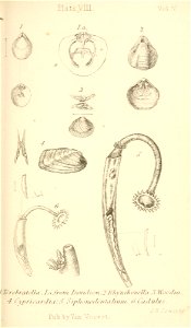
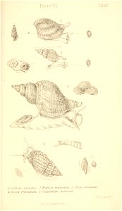
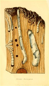
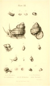
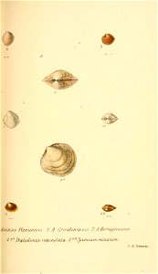
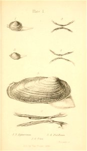
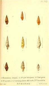
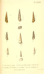
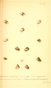
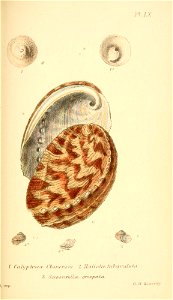
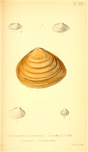
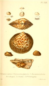
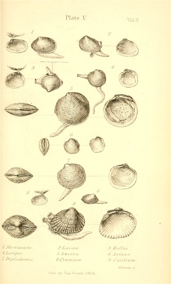
shell
mollusk
smithsonian libraries
pictorial works
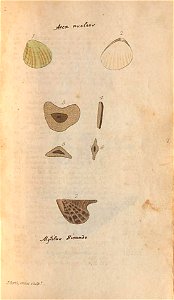
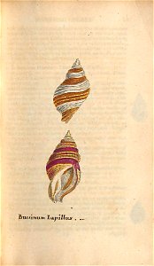
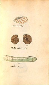
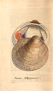
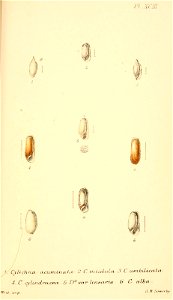
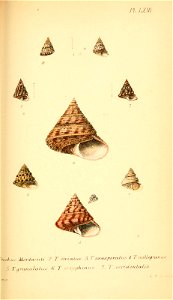
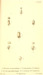
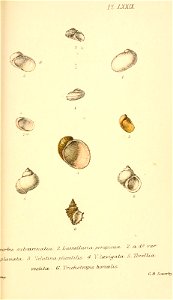
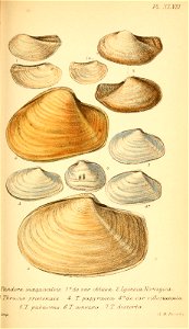
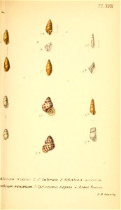
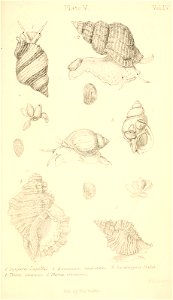
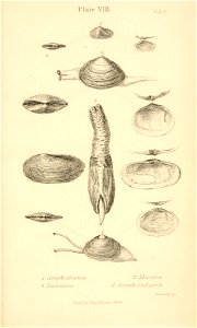
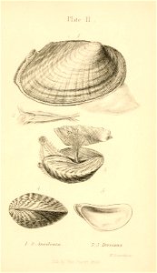
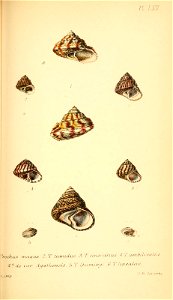
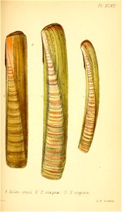
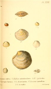
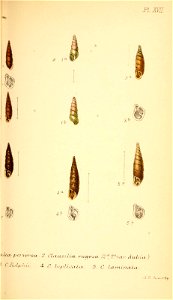
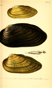
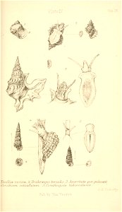
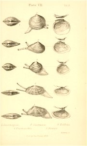
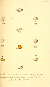
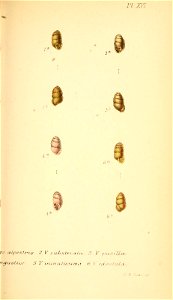
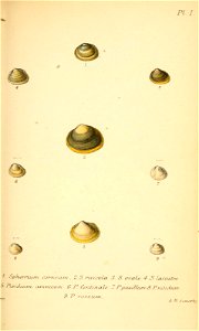
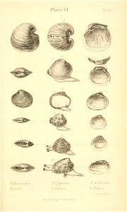
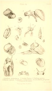
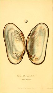
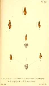
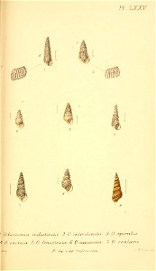
british conchology, or, an account of the mollusca which now inhabit the british isles and the surrounding seas v.5 (1869)
maps from the earth and its inhabitants, vol. iv
conchology
british islands
museums victoria
maps from the earth and its inhabitants, vol. iv
1880s maps of the british isles
maps from the earth and its inhabitants, vol. iv
1880s maps of the british isles
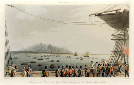
eight views of the mauritius comprising the positions of the british army, 1810
prints in the national maritime museum, london
maps from the earth and its inhabitants, vol. iv
old maps of the isle of arran
prints by george harley in the british museum
lithographs in the british museum
curt teich postcard archives, raphael tuck & sons
postcards of the british crown dependencies
harvard university
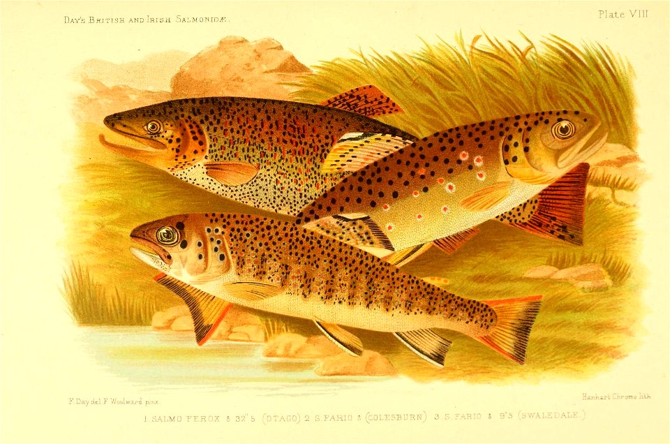
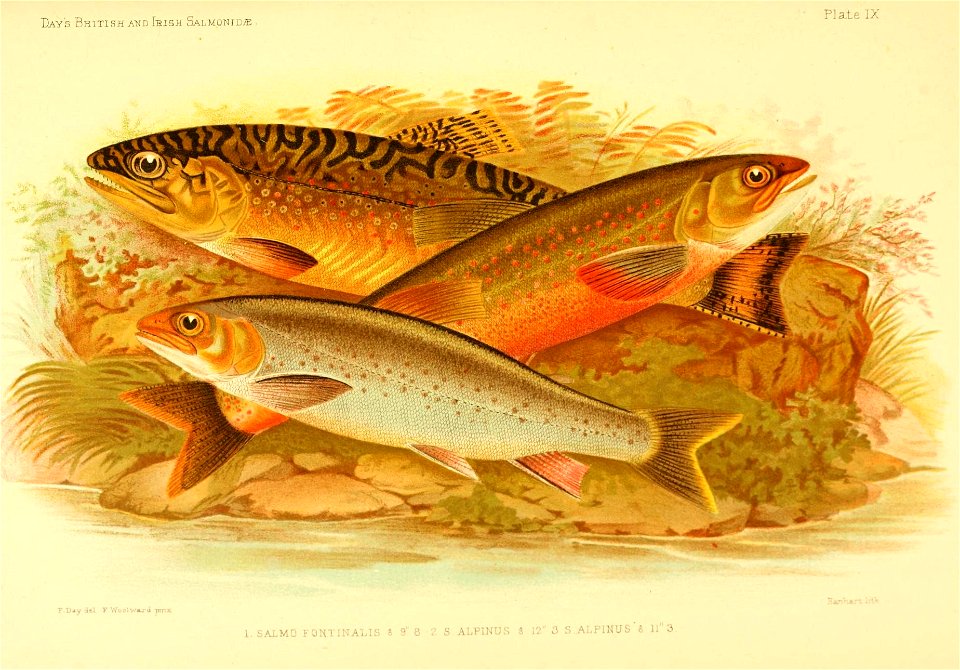
salmonidae
harvard university
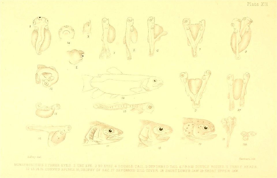
salmonidae
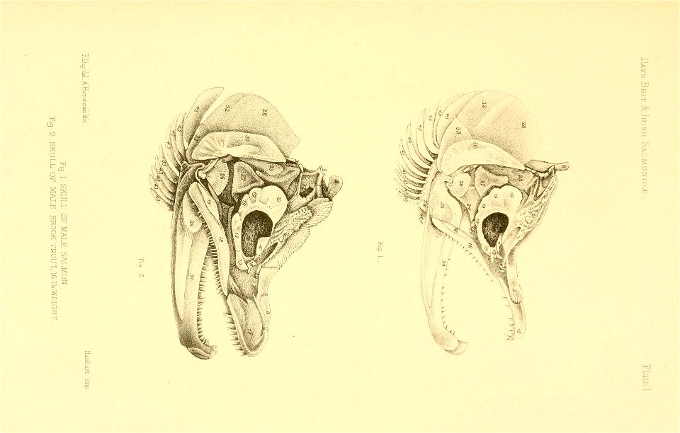
harvard university
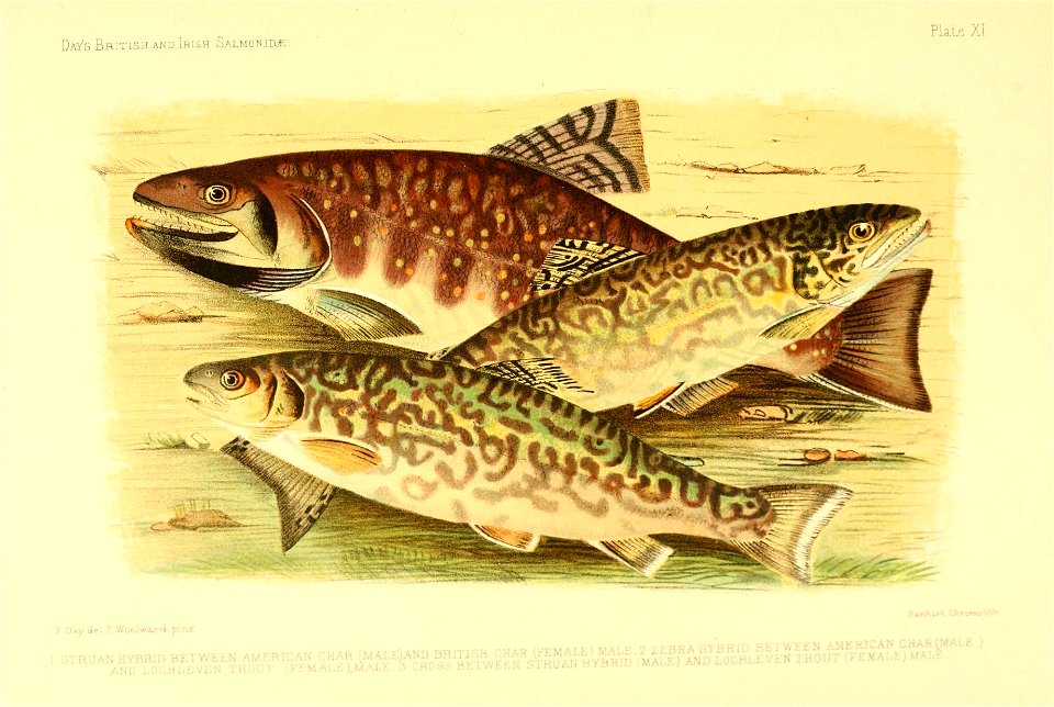
salmonidae
harvard university
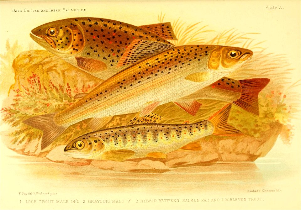
salmonidae
harvard university
salmonidae
harvard university
salmonidae
harvard university
salmonidae
maps from the earth and its inhabitants, vol. iv
19th-century maps of the isle of man
maps from the earth and its inhabitants, vol. iv
old maps of the isle of arran
benedetto gennari junior
baroque
expeditionis hispanorum in angliam vera descriptio anno domini mdlxxxviii
maps of the spanish armada
metropolitan improvements (1828) thomas hosmer shepherd
egyptian hall
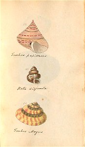
british
shell
british
shell
british
shell
british
shell
british
shell
british
shell
british
shell
british
shell
british
shell
british
shell
british
shell
ghosts & ghoulish scenes
maps from the earth and its inhabitants, vol. iv
boston, england
expeditionis hispanorum in angliam vera descriptio anno domini mdlxxxviii
paper
watercolor paintings in the yale center for british art
19th-century paintings of coasts
caricatures of napoleon i of france
romanticism
maps from the earth and its inhabitants, vol. iv
halifax, yorkshire
portrait of william iv (martin archer shee - royal collection, rcin 404385)
copies of 19th-century portrait paintings
eight views of the mauritius comprising the positions of the british army, 1810
prints in the national maritime museum, london
eight views of the mauritius comprising the positions of the british army, 1810
prints in the national maritime museum, london
watercolor paintings in the yale center for british art
the needles, isle of wight
great britain
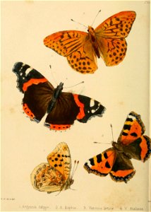
insects
great britain
insects
great britain
insects
19th-century sailing ships in paintings
19th-century paintings of ships
maps from the earth and its inhabitants, vol. iv
stockton-on-tees
great britain
insects
butterfly
insects
18th-century maps of the british isles
armada tapestries
18th-century maps of the british isles
armada tapestries
maps from the earth and its inhabitants, vol. iv
peterborough
maps from the earth and its inhabitants, vol. iv
queensferry crossing
maps from the earth and its inhabitants, vol. iv
maps of cheltenham
maps from the earth and its inhabitants, vol. iv
dumbarton
maps from the earth and its inhabitants, vol. iv
1870s maps of london
maps from the earth and its inhabitants, vol. iv
old maps of the lake district
great britain
shell
eight views of the mauritius comprising the positions of the british army, 1810
isle de france (mauritius)
eight views of the mauritius comprising the positions of the british army, 1810
prints in the national maritime museum, london
aquatint prints
george garrard
great britain
shell
great britain
shell
great britain
shell
great britain
shell
great britain
shell
great britain
shell
great britain
shell
great britain
shell
great britain
shell
great britain
shell
great britain
shell
great britain
shell
great britain
shell
great britain
shell
great britain
shell
great britain
shell
great britain
shell
great britain
shell
great britain
shell
great britain
shell
great britain
shell
great britain
shell
great britain
shell
great britain
shell
great britain
shell
great britain
shell
great britain
shell
great britain
shell
great britain
shell
great britain
shell
great britain
shell
great britain
shell
great britain
shell
great britain
shell
great britain
shell
great britain
shell
great britain
shell
great britain
shell
great britain
shell
great britain
shell
great britain
shell
great britain
shell
201 - 300 of 1,059
Next page
/ 11